0
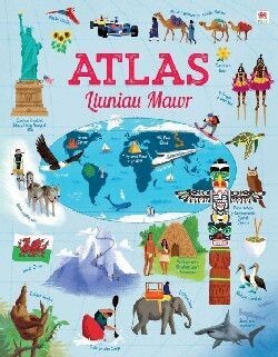
Atlas Lluniau Mawr
£12.99
Ar gael
Product Details
UPC:
9781804163085
Gyda 15 map lluniau mawr i ti bori drwyddyn nhw a'u mwynhau, defnyddia'r atlas hwn i archwilio ein byd diddorol. Dere i ddysgu am ryfeddodau'r blaned hon; am adeiladau a lleoedd pwysig; canfod ble mae pob mathau o anifeiliaid a phobl yn byw o gwmpas y byd, a llawer mwy. Addasiad Cymraeg o Big Picture Atlas
gan Siân Lewis.
A stunning atlas with 15 beautifully illustrated maps for children to pore over. Young explorers can discover the countries, continents, oceans, mountains and ice caps of our amazing planet and learn where different animals and people live. There are fascinating facts about each country, capital cities and an index of place names. Suitable for children 6 years+, Key Stage 2 and 3.
Atlas Lluniau Mawr
Display prices in:
GBP

